
Shoal Creek was once known as Indian Creek?
In the spring of 1818, David Crockett and a group of other important men met at a place about four miles north of Pine Bluff, and listened to a man named Henry tell the story of one of the most frightening nights of his life.
Like a faded map to buried treasure, Henry knew something that was very valuable.
The story begins at the Revolutionary War battle of Ramsour’s Mill, North Carolina. There, on June 20, 1780, Captain Gilbreath Falls was killed in action at the head of his patriot cavalry company.
The state of North Carolina rewarded his sacrifice by granting his widow and children joint ownership of a 4,000-acre tract of land in the state’s western frontier.
In 1784, when the grant was made, the border of that tract of land began “on Indian Creek beginning at the first fork of said creek above General Rutherford’s encampment, near an Indian encampment.”
However, that vast tract of land–an estate of 6.25 square miles–was in a wild section of the country in 1784, squarely in the center of Chickasaw territory. Indeed, white settlers largely stayed away from it until the autumn of 1816, when the Federal government purchased it from the Chickasaw and the settlers decided to call the place Lawrence County.
But who was General Rutherford? And where was Indian Creek?
When the Revolutionary War ended in 1783, North Carolina—like the other newly-independent states—was short on cash. To pay its veterans, it devised a system of land grants in the wild territory west of the Appalachians.
At that time, North Carolina laid claim to all of the land that would become Tennessee in 1796. To explore and survey land for these land grants, North Carolina sent General Griffith Rutherford on a surveying expedition in 1784. His men spent weeks hacking through the wilderness, noting the location of important landmarks.
Rutherford’s son, Henry, was present with this expedition. Three decades later, it was Henry who met Crockett and the other commissioners north of Pine Bluff and shared his story.
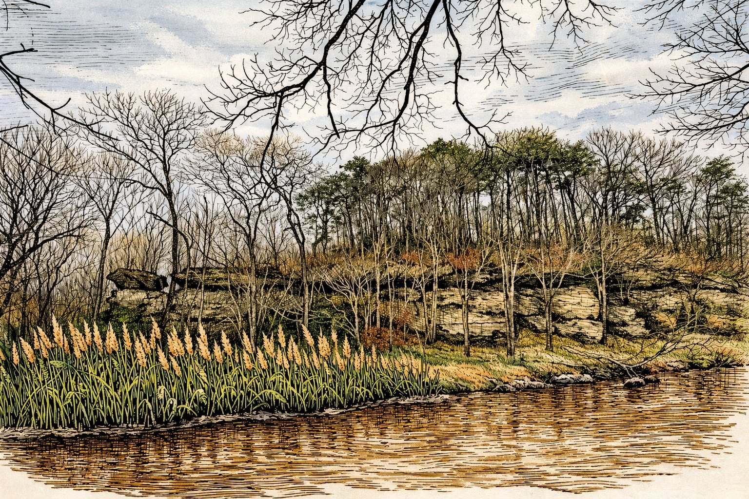
Henry said the creek was called “Indian Creek” because “a plain Indian reed passed up and down the creek.” This was probably a variety of native cane. By Crockett’s time, however, Indian Creek was known as Shoal Creek, the name we still call it today.
In March 1784, Rutherford’s men began following Indian Creek “in sight of a small quantity of pine timber on the opposite bluff,” the place in modern Lawrenceburg that has been known for more than two-hundred years as Pine Bluff. Today it sits opposite the Lawrenceburg Water Filtration Plant on one side and David Crockett State Park on the other. Somewhere about 3-5 miles north of the bluff, they came to the site of a “large Indian camp” on the bank of the creek, and decided to make camp for the night.
Henry was terrified.
The signs, he said, were all around that the Indians were still in the vicinity. Thomas Gillespie, another member of the expedition, remembered that they found “saplings chopped & bent down & as we judged for the purpose of conveying the wounded” near the camp. Henry “was very apprehensive that they would be disturbed that night by Indians.”
Although the night passed peacefully, all of these circumstances ensured that the Indian campground where General Rutherford’s men spent the night just north of Pine Bluff would be a memorable place for the men who camped there. Perhaps that’s why the surveyor used it as the beginning point of Captain Falls’s massive land grant.
By 1818, when Falls’s heirs were ready to cash in on their claim, Indian Creek had a new name and few people were left who remembered where Rutherford’s men had spent that night in 1784.
Crockett–by 1818 a magistrate and a man on the rise–and a group of other commissioners were appointed by the county court to collect testimony from Henry Rutherford and other survivors of the expedition to ascertain as closely as they could where the campground was, and whether or not Indian Creek was now known as Shoal Creek.
Those depositions were all copied at some point and sent to the Tennessee Historical Commission. Today, they are in the collection of the Tennessee State Library and Archives. I first came across their existence in the footnotes of James Shackford’s biography of David Crockett. I recently transcribed the depositions and began an in-depth research project regarding the land grant. Captain Falls’s widow, as it turns out, was very likely my 4x-great-aunt.
Henry Rutherford and his father General Rutherford moved to Middle Tennessee in the early nineteenth century. Rutherford County, Tennessee, is named for the general. Henry’s memories–and the memories of the other men summoned by the commission to corroborate his testimony–were worth a literal fortune to the heirs of Captain Falls. And they are worth their weight in gold to local historians today, for preserving the memory of Lawrence County when it was a truly wild place.

Pingback: Bringing Local History to the Classroom | Lawrence County History Trivia